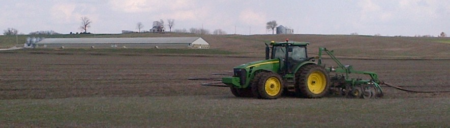
- Each tractor is equipped with GPS mapping and auto-steer.
- The manure is measured by a Krohne flowmeter that is tied to our John Deere mapping system to provide our customers with an “as applied” mapping so you know the exact amount that was spread in all areas of the fields.
- This aids our customers in using commercial fertilizers in the areas that were not applied due to setbacks such as creeks, houses, wells, etc.

- This is map that you would receive along with your invoice, showing the rate that was placed in each area of the field. As you can see in the map, there was a setback on the east side because of a house near that location.


